
TTC Subway Map: Navigating Toronto with Ease
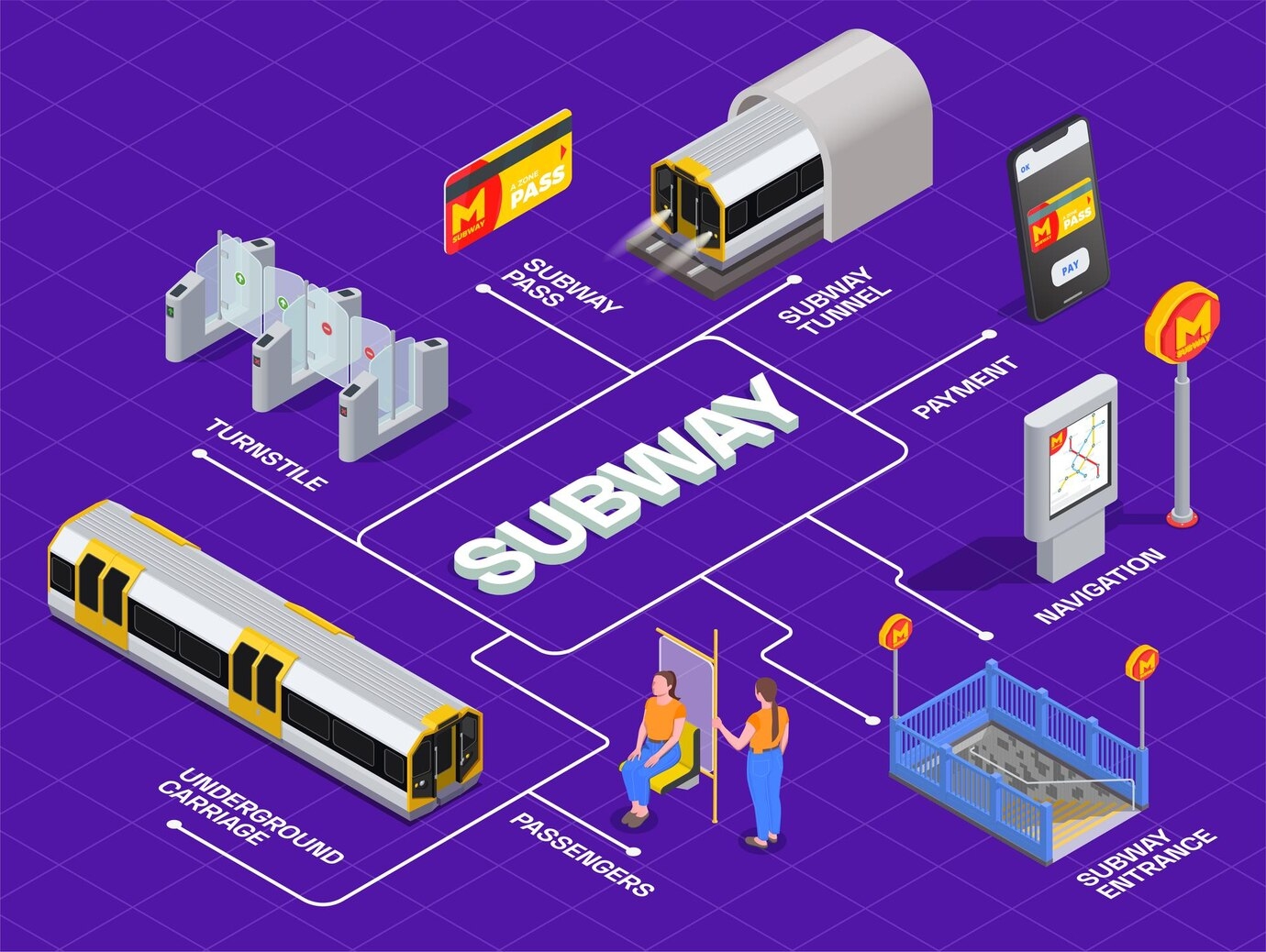
The TTC subway map is an essential guide for navigating Toronto’s rapid transit system. Covering four main lines—Line 1 (Yonge-University), Line 2 (Bloor-Danforth), Line 3 (Scarborough, now closed), and Line 4 (Sheppard)—it helps commuters and tourists travel efficiently across the city. The map highlights key transfer points, stations, and connections to streetcars and buses. Whether you're a daily commuter or a visitor exploring Toronto, the TTC subway map ensures a smooth journey. With expansions planned, such as the Ontario Line, the system continues to evolve. A clear, user-friendly design makes it easy to plan trips and avoid delays.
Sponsored
Sponsored
- Questions and Answers
- Opinion
- Motivational and Inspiring Story
- Technology
- Live and Let live
- Focus
- Geopolitics
- Military-Arms/Equipment
- Security
- Economy
- Beasts of Nations
- Machine Tools-The “Mother Industry”
- Art
- Causes
- Crafts
- Dance
- Drinks
- Film/Movie
- Fitness
- Food
- Games
- Gardening
- Health
- Home
- Literature
- Music
- Networking
- Other
- Party
- Religion
- Shopping
- Sports
- Theater
- Health and Wellness
- News
- Culture
Sponsored